I am an ELLIIT Assistant Professor at Linköping University, affiliated with the Computer Vision and Learning Systems (CVL) at the Department of Electrical Engineering (ISY). Before joining Linköping University, I was a post-doctoral researcher at the Institute of Advanced Research in Artificial Intelligence (IARAI) from 2021 to 2023. I received my Ph.D. degree in Photogrammetry and Remote Sensing from Wuhan University in 2021. My research interests include machine learning, computer vision, and their applications in remote sensing.
Vacancies:
Multiple Ph.D. and PostDoc positions are available at CVL from time to time. Please check the vacancies page.
Selected Publications
Vision and Language Models for Remote Sensing
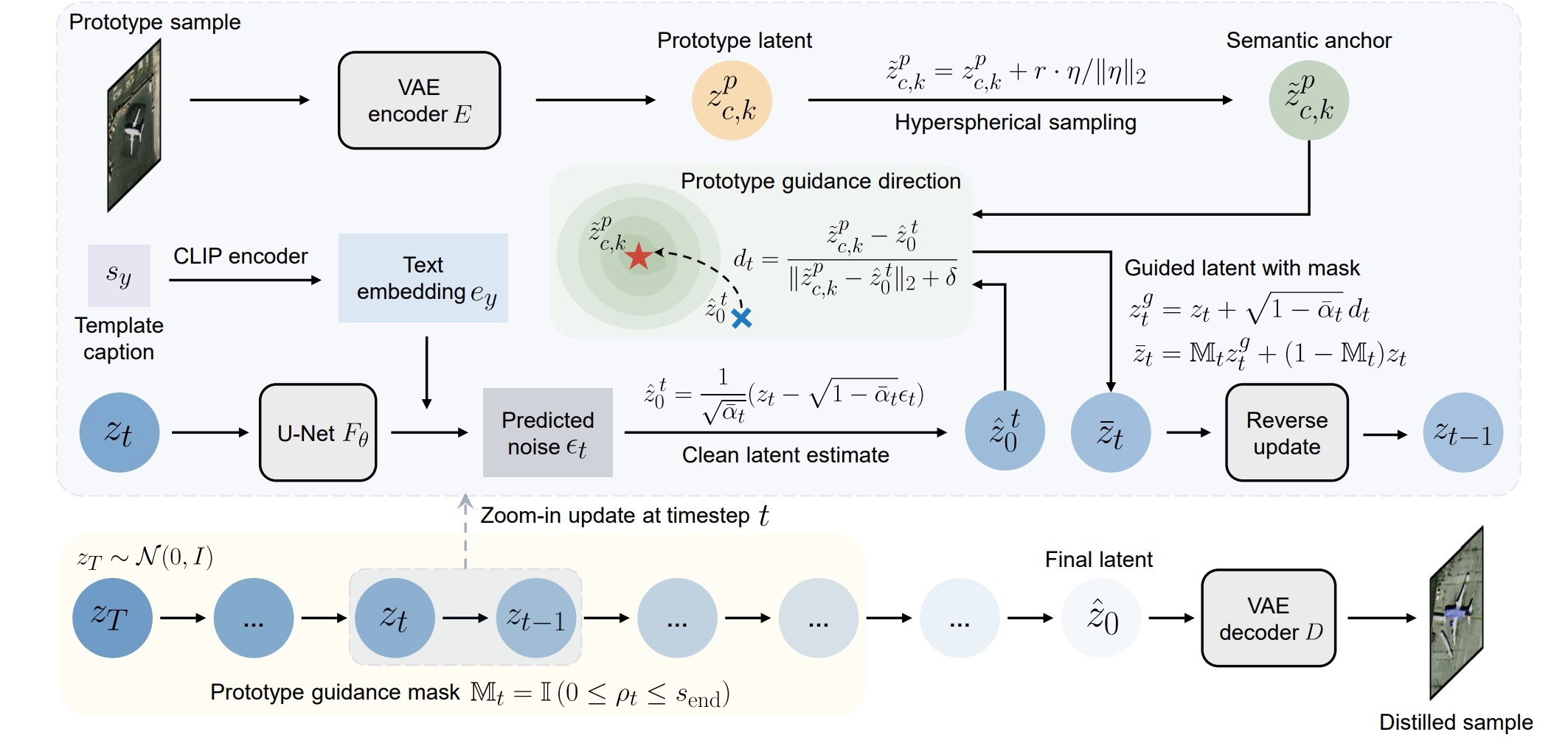
Y. Xu, P. Ghamisi, and Q. Weng, “Toward realistic remote sensing dataset distillation with discriminative prototype-guided diffusion,” IEEE Trans. Geosci. Remote Sens., 2026. [Paper][Code]
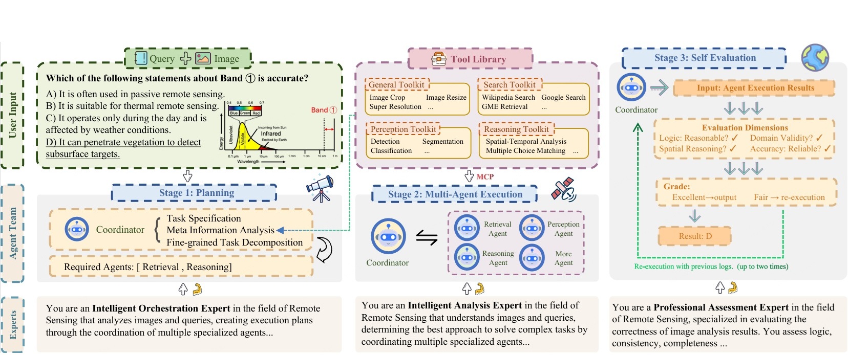
A. Xiao, S. Cheng, Y. Xu, Y. Ren, H. Chen, and N. Yokoya, “GeoMMBench and GeoMMAgent: Toward expert-level multimodal intelligence in geoscience and remote sensing,” in Proc. IEEE Conf. Comput. Vis. Pattern Recognit., pp. 34843-34853, 2026. [Paper][Code][Data]
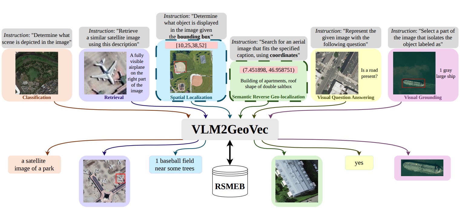
E. S. Aimar, G. Zhambulova, F. S. Khan, Y. Xu, and M. Felsberg, “VLM2GeoVec: Toward universal multimodal embeddings for remote sensing,” in Proc. Eur. Conf. Comput. Vis. Workshop, 2026. [Paper][Code]
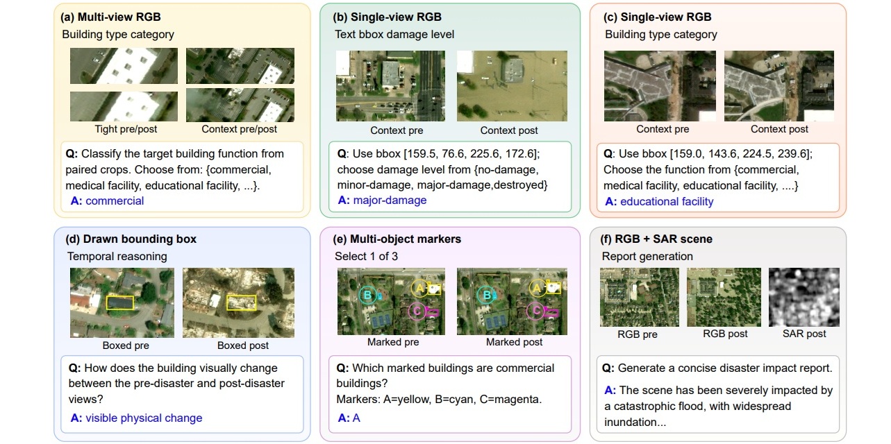
S. Tehrani, Y. Xu, L. Haglund, A. Berg, G. Zhambulova, and M. Felsberg, “DisasterInsight: A building-centric benchmark for evaluating vision-language models in disaster response,” in Proc. Eur. Conf. Comput. Vis. Workshop, 2026. [Paper][Code]
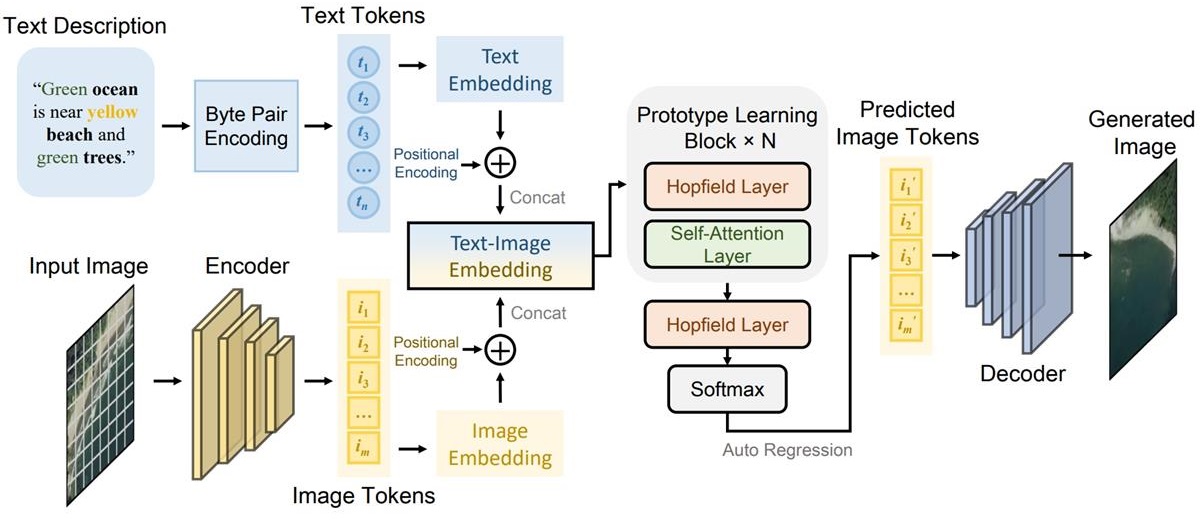
Y. Xu, W. Yu, P. Ghamisi, M. Kopp, and S. Hochreiter, “Txt2Img-MHN: Remote sensing image generation from text using modern hopfield networks,” IEEE Trans. Image Process., vol. 32, pp. 5737-5750, 2023. [Paper][Code][Video]
AI for Environmental Monitoring
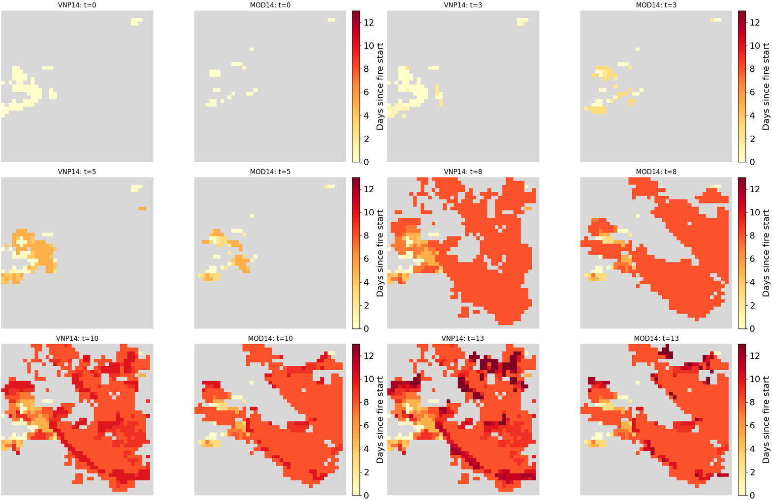
J. Karrlson, Y. Xu, A. Berg, and L. Haglund, “Comparing next-day wildfire predictability of MODIS and VIIRS satellite data,” in Scandinavian Conference on Image Analysis, 2025. [Paper][Data & Code]
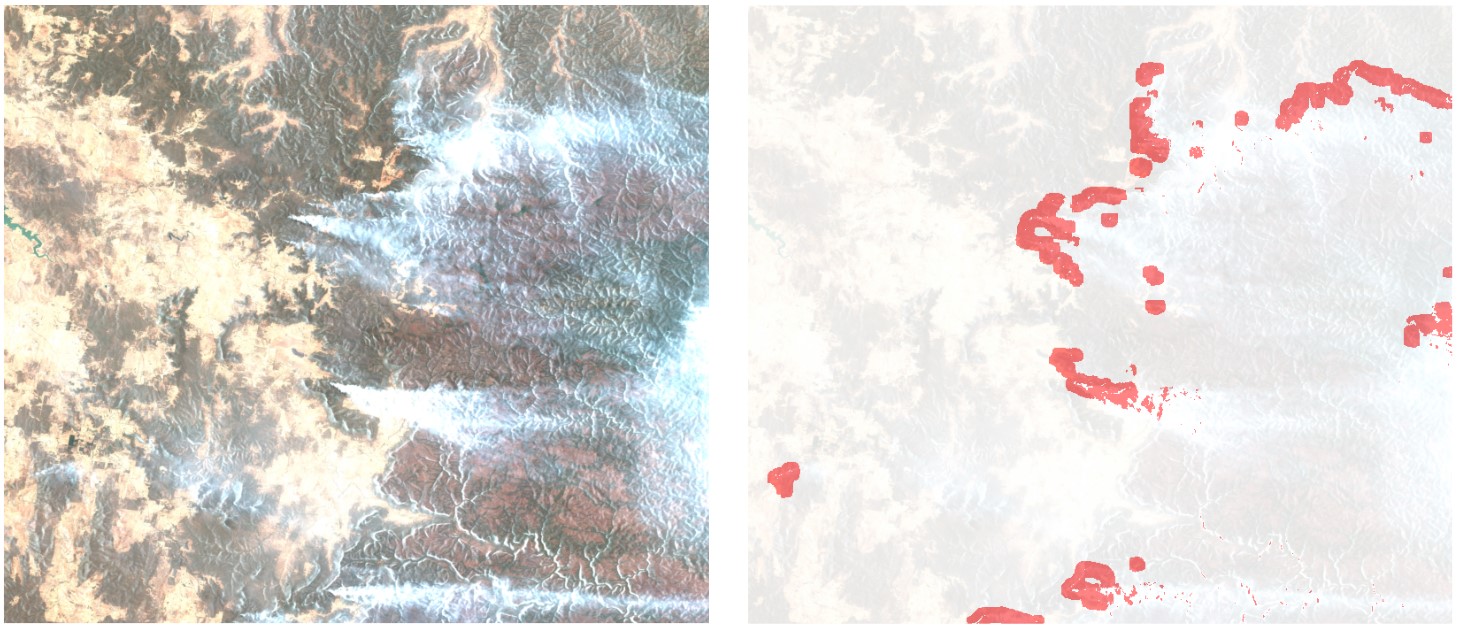
Y. Xu, A. Berg, and L. Haglund, “Sen2Fire: A challenging benchmark dataset for wildfire detection using Sentinel data,” in Proc. IEEE Int. Geosci. Remote Sens. Symp., 2024. [Paper][Data & Code]
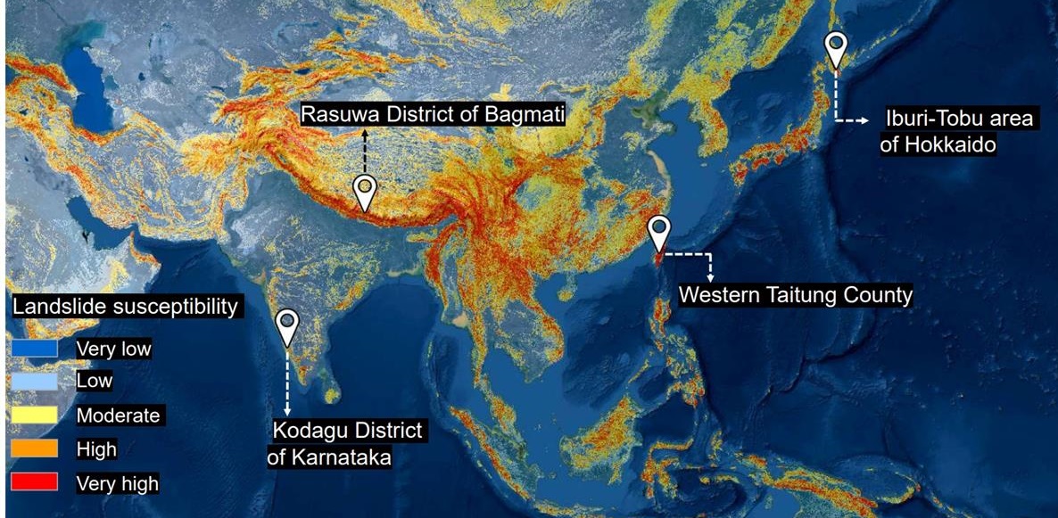
O. Ghorbanzadeh, Y. Xu, P. Ghamisi, M. Kopp, and D. Kreil, “Landslide4sense: Reference benchmark data and deep learning models for landslide detection,” IEEE Trans. Geosci. Remote Sens., vol. 60, pp. 1-17, 2022. [Paper][Data][Code]
Trustworthy Remote Sensing Models
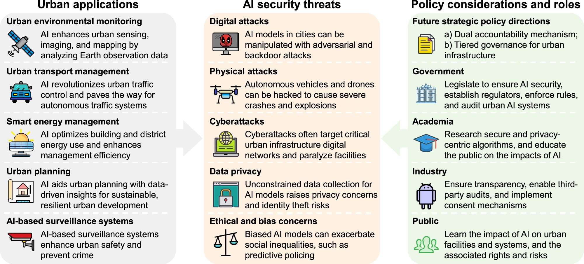
Y. Xu, K. C. Seto, and Q. Weng, “The invisible gap: Urban AI security,” npj Urban Sustainability, vol. 6, pp. 101, 2026. [Paper]
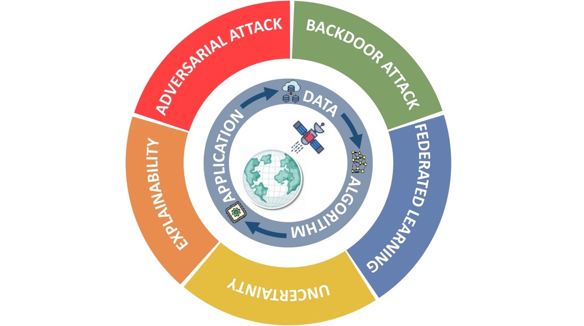
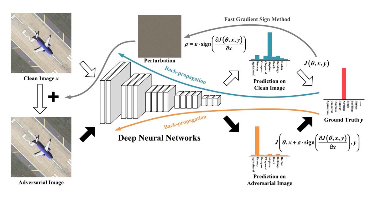
Y. Xu, T. Bai, W. Yu, S. Chang, P. M. Atkinson, and P. Ghamisi, “AI security for geoscience and remote sensing: Challenges and future trends,” IEEE Geosci. Remote Sens. Mag., vol. 11, no. 2, pp. 60-85, 2023. [Paper]
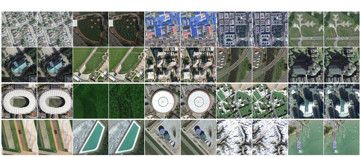
Y. Xu and P. Ghamisi, “Universal adversarial examples in remote sensing: Methodology and benchmark,” IEEE Trans. Geosci. Remote Sens., vol. 60, pp. 1-15, 2022. [Paper][Data][Code][Video]
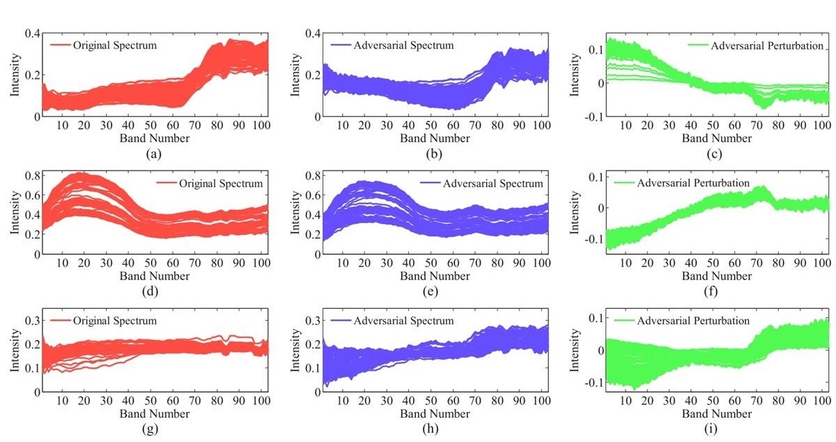
Y. Xu, B. Du, and L. Zhang, “Self-attention context network: Addressing the threat of adversarial attacks for hyperspectral image classification,” IEEE Trans. Image Process., vol. 30, pp. 8671-8685, 2021. [Paper][Code]
Y. Xu, B. Du, and L. Zhang, “Assessing the threat of adversarial examples on deep neural networks for remote sensing scene classification: Attacks and defenses,” IEEE Trans. Geosci. Remote Sens., vol. 59, no. 2, pp. 1604-1617, 2021. [Paper]
Intelligent Remote Sensing Data Interpretation
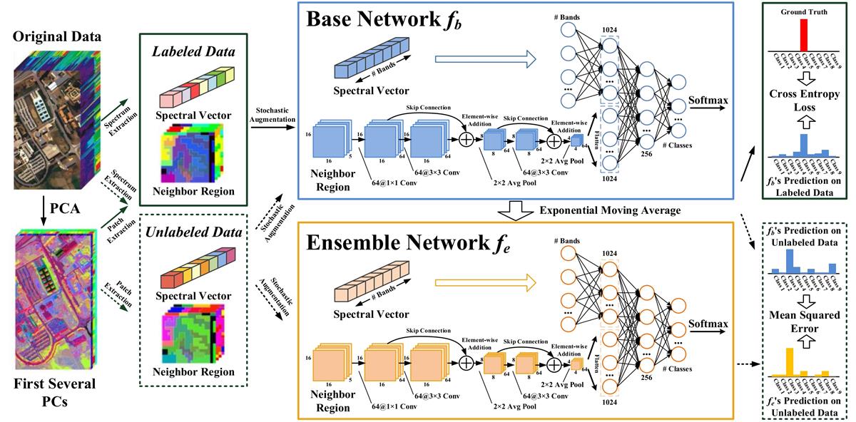
Y. Xu, B. Du, and L. Zhang, “Robust self-ensembling network for hyperspectral image classification,” IEEE Trans. Neural Netw. Learn. Syst., vol. 35, no. 3, pp. 3780-3793, 2024. [Paper][Code]
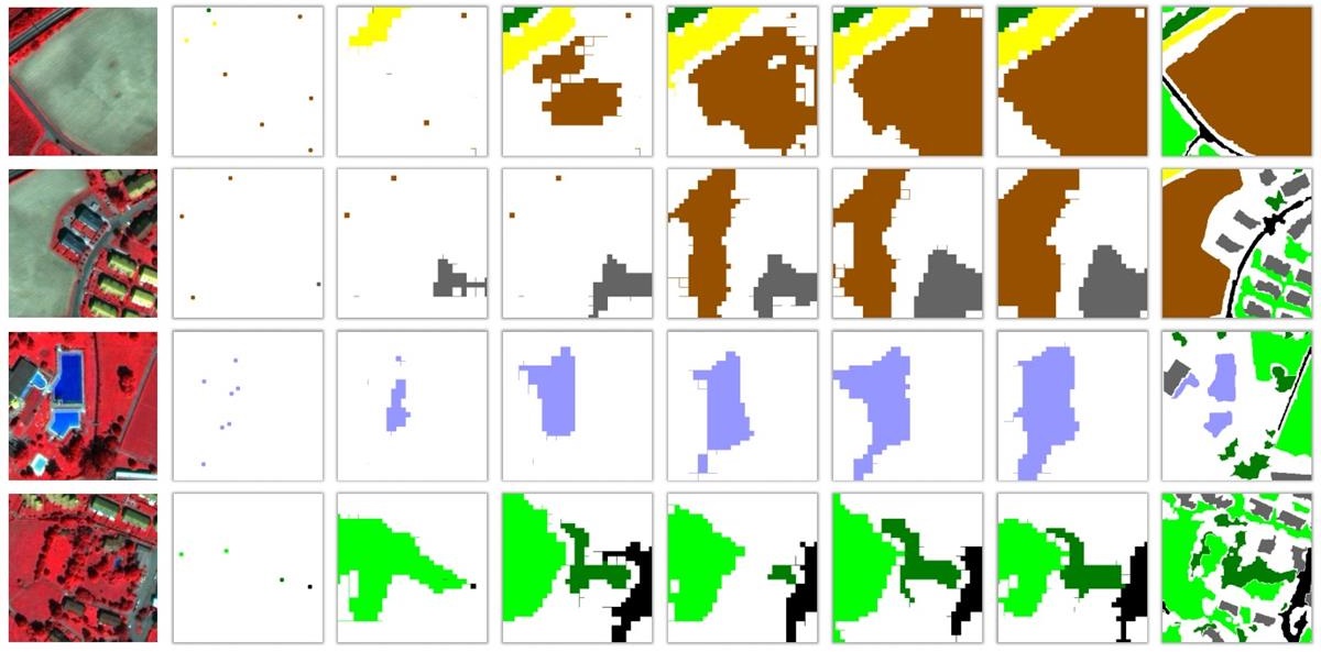
Y. Xu and P. Ghamisi, “Consistency-regularized region-growing network for semantic segmentation of urban scenes with point-level annotations,” IEEE Trans. Image Process., vol. 31, pp. 5038-5051, 2022. [Paper][Code]
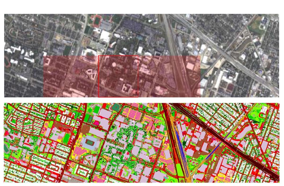
Y. Xu, B. Du, L. Zhang, D. Cerra, M. Pato, E. Carmona, S. Prasad, N. Yokoya, R. Hansch, and B. Le Saux, “Advanced multi-sensor optical remote sensing for urban land use and land cover classification: Outcome of the 2018 IEEE GRSS Data Fusion Contest,” in IEEE J. Sel. Top. Appl. Earth Obs. Remote Sens., vol. 12, no. 6, pp. 1709-1724, 2019. [Paper][Data]
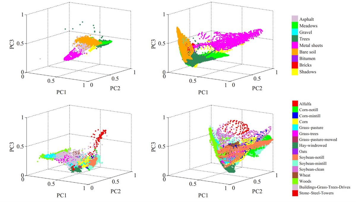
Y. Xu, B. Du, F. Zhang, and L. Zhang, “Hyperspectral image classification via a random patches network,” ISPRS J. Photogram. Remote Sens., vol. 142, no. 10, pp. 344-357, 2018. [Paper][Code]
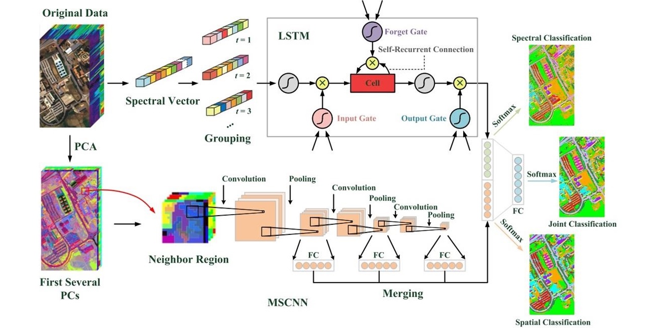
Y. Xu, L. Zhang, B. Du, and F. Zhang, “Spectral-spatial unified networks for hyperspectral image classification,” IEEE Trans. Geosci. Remote Sens., vol. 56, no. 10, pp. 5893-5909, 2018. [Paper][Code]
Cross-Domain Semantic Segmentation of Urban Scenes
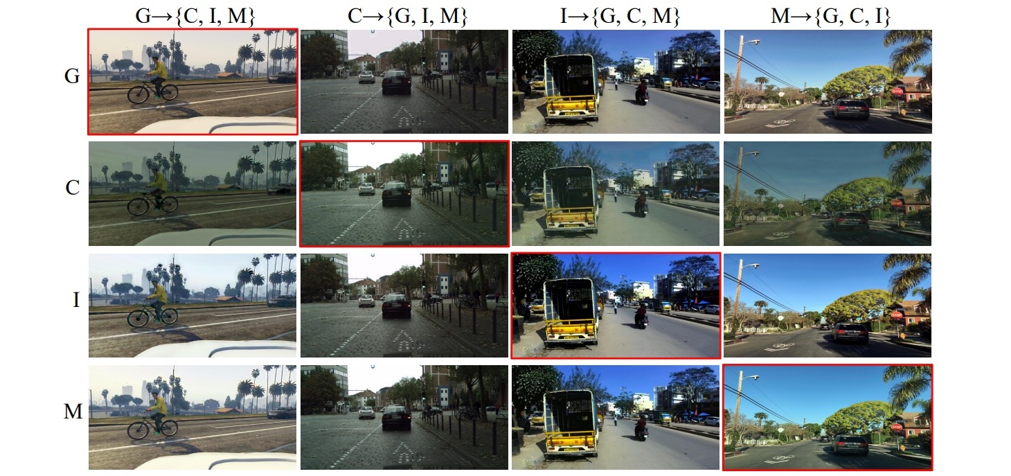
Y. Xu, P. Ghamisi, and Y. Avrithis, “Multi-target unsupervised domain adaptation for semantic segmentation without external data,” arXiv preprint arXiv:2405.06502, 2024. [Paper][Code]
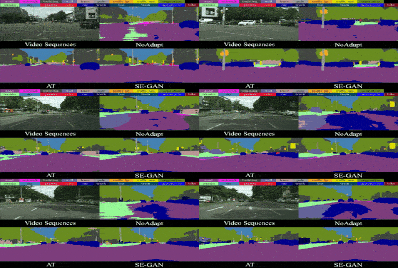
Y. Xu, F. He, B. Du, D. Tao, and L. Zhang, “Self-ensembling GAN for cross-domain semantic segmentation,” IEEE Trans. Multimedia, vol. 25, pp. 7837-7850, 2023. [Paper][Code]
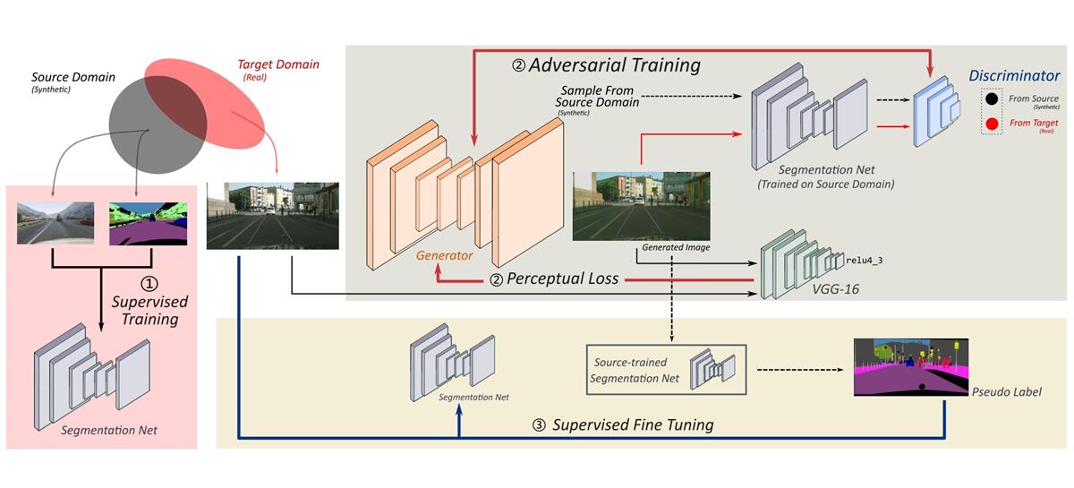
L. Song, Y. Xu, L. Zhang, B. Du, Q. Zhang, and X. Wang, “Learning from synthetic images via active pseudo-labeling,” IEEE Trans. Image Process., vol. 29, pp. 6452-6465, 2020. [Paper][Code]
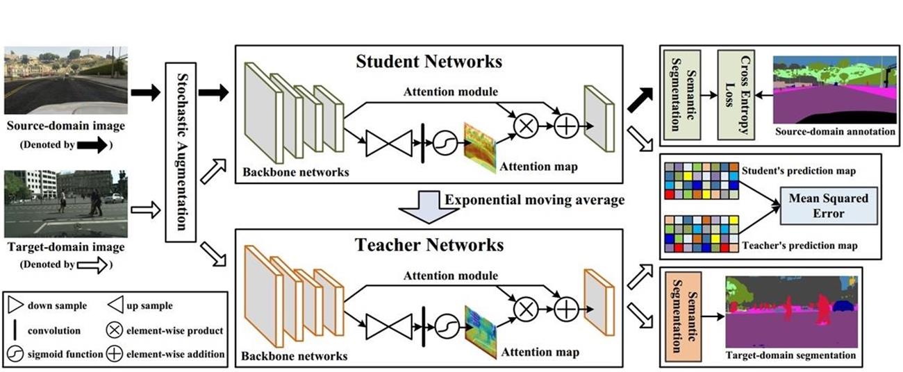
Y. Xu, B. Du, L. Zhang, Q. Zhang, G. Wang, and L. Zhang, “Self-ensembling attention networks: Addressing domain shift for semantic segmentation,” in Proc. AAAI Conf. Artif. Intell., vol. 33, pp. 5581-5588, 2019. [Paper][Code]
Wallenberg AI, Autonomous Systems and Software Program (WASP) Industrial PhD Project, 2026 – 2029, PI.
– AI for applied industrial perception.
Swedish Research Council (VR) Starting Grant, 2025 – 2028, PI.
– Cross-modality foundation models in Earth observation.
VR Network Grant for Future Groundbreaking Technology Excellence Clusters, 2025 – 2026, co-PI.
– Groundbreaking technologies for novel greenhouse gas concentration and flux measurements.
WASP Academic PhD Project, 2024 – 2029, co-PI.
– Multimodal remote sensing for wildfire detection.
WASP Research Arenas Validation Project, 2024 – 2026, PI.
– Real-time autonomous wildfire detection system with dual-camera AI.
Zenith Project (research program at LiTH), 2024 – 2028, PI.
– Multimodal remote sensing for climate monitoring.